Some years ago, a friend asked me to help deliver his sailboat from Anacortes, Washington, to Seattle, following a late-season cruise in the gorgeous San Juan Islands. The mid-November evening was dark and damp, and our thinly staffed crew was fortified with thickly insulated jackets, Gore-Tex foul-weather gear and piping-hot coffee.The boat, however, was fairly light on electronics. While she carried a listen-only AIS, we were naked of radar and bereft of a thermal-imaging camera, which are extremely useful on Pacific Northwest waters that are rife with heavy metal (container ships) and deadheads (upturned logs, with their root balls exposed to the water’s surface).Fortunately, our passage was a cold but quiet one, and while the AIS kept us clear of commercial traffic by quantifiable distances, we had no choice but to trust the big-ocean theory when it came to dodging deadheads.
Our needs would have been different in, say, the sun-kissed Bahamas and Caribbean, or if we’d been enjoying the freshwater solitude of the Great Lakes. Most yachts are delivered with a bevy of electronics and sensors, including multifunction displays, GPS receivers, radar and VHF radios, but different itineraries have area-specific hazards, including shifting sandbars (Bahamas and Caribbean), heavy commercial traffic (Great Lakes and Puget Sound) and potentially hull-damaging debris (Pacific Northwest).
These real-world hurdles can be ameliorated with itinerary-specific equipment.
Bahamas & Caribbean
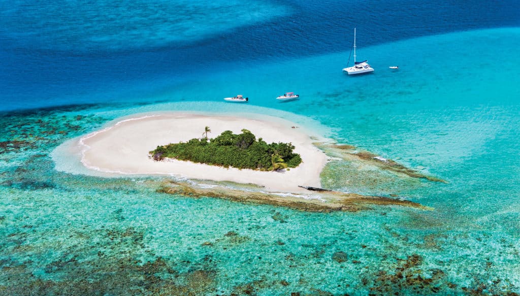
The Bahamas and Caribbean are world-class destinations, but the Bahamas experiences regular shifting sandbars, and the Caribbean has its share of tricky, reef-protected passes in places such as the U.S. Virgin Islands’ St. Croix. Additionally, some of these waters are beyond U.S.-based satellite-weather coverage.
Some weather services focus coverage on the United States, but outside of that footprint, the information isn’t accessible.
“Furuno’s Fax-30 weather fax delivers digitized weather information, but it doesn’t use any printed paper or consumables, and it automatically captures the latest weather,” says Eric Kunz, Furuno’s senior product manager.
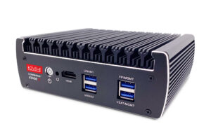
The black-box Fax-30, Kunz says, receives its information from shoreside weather stations around the world, with experts editing the weather information. While Kunz cautions that the Fax-30 requires some user knowledge when it comes to determining the best channels, the service is free, and mariners can view the data on a networked PC or Furuno TZtouch2 multifunction display.
Pack Your Big Eyes
Spotting objects and aids to navigation at a distance is key, especially if there’s also commercial traffic, deadheads and tricky navigation. Carry a pair of high-quality, powerful and waterproof marine-specific binoculars that offer a water-resistant lens coating, an integrated and dampened (or digital) compass, a durable and grip-friendly outer body, and high-definition optics. Image stabilization is a plus, as are integrated range finders and positive-flotation straps. Many offerings exist, and brands including Bushnell, Canon, Nikon and Steiner deserve serious attention.
When it comes to plying questionable waters, Jim McGowan, Americas marketing manager at FLIR/Raymarine, says boaters can never have enough high-quality charts from different manufacturers. Bahamas- and Caribbean-bound cruisers can supplement existing cartography with offerings from the United Kingdom Hydrographic Office and Wavey Line Charts.
“You want a lot of different chart options for the Bahamas and the Caribbean,” McGowan says, adding that Raymarine developed its Lighthouse operating system to display cartography from any manufacturer. “This lets us talk to smaller, boutique chart-makers and give them a pathway to get their PC charts to the Raymarine family.”
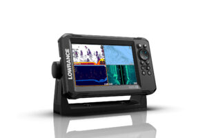
Dave Dunn, Garmin’s director of sales and marketing for marine, and Steve Thomas, Simrad’s product line director, both say forward-looking sonar is another wise investment, so long as users understand the technology’s range (ballpark 300 to 500 feet) and safe operating speeds (about 5 to 10 knots). As long as users respect these guidelines, forward-looking sonar is a game changer for wending through keel-crunching reefs and dodging sandbars.
Great Lakes
The Great Lakes are premier freshwater cruising grounds. However, the myriad cities and towns that punctuate their shorelines portend a heavy volume of commercial shipping. Moreover, the Midwest’s blistering summer weather fuels some of the country’s fiercest electrical storms.
Here, a smart upgrade includes SiriusXM Marine Weather, which uses a black-box receiver to provide graphical information that can be overlaid atop compatible multifunction displays. Users can view current weather, including information on the direction of cells, their speed and whether they contain lightning; NOAA marine forecasts; and proprietary fishing information for anglers. Note, however, that SiriusXM Marine Weather is a graphical-only layer that cannot be used for weather-routing purposes.
In addition to satellite weather information, Kunz points to radar as a critical Great Lakes cruising tool. While a one-radar installation works, a much smoother setup is a large, open-array radar set to long range, and a smaller radar that delivers close-range performance, giving the navigator a huge amount of situational awareness without having to share displays or jump ranges.
In questionable waters, yachtsmen can never have enough high-quality charts from different manufacturers.
“Doppler radar is [another] critical tool,” says Kunz, adding that, beyond using it to navigate, skippers can also leverage the feature to study the speed and direction of cells. ¶ In terms of dodging Great Lakes commercial traffic, an automatic information system (AIS) transceiver is a prerequisite.
“You want a full Class B transceiver so that both captains don’t make the same mistake at the same time,” Dunn says. McGowan agrees: “If you’re not being seen, you’re not a full AIS participant. It’s great to know that an oncoming bulk carrier can see you.”
While Kunz also agrees, he says a commercial-grade Class A transceiver might be a better choice for a Great Lakes cruise.
“Class B is 2 watts of output, and lots of boaters use cheap or bad antennas, which can drop the transmit power down to less than 1 watt,” he says. “Class A AIS is a full 12.5-watt system.”

Pacific Northwest
With steep hillsides, soaring glaciated peaks and old-growth temperate rainforests, the Pacific Northwest offers some of North America’s most dramatic scenery, which only improves the farther north one voyages. While the area’s huge trees are impressive, the downside is that these long-lived monsters regularly end up in navigable waters — either from storms and erosion, or from logging-industry slippage — and are incredibly hard to spot, especially at night or at speed.
Mariners have two options for dealing with these deadheads at night: Subscribe to the big-ocean theory — that is, the thought that two randomly placed, randomly maneuvered objects in the ocean are unlikely to collide — or rely on electronics. The tools of choice are thermal-imaging cameras, which render images by using microbolometer sensors that pick out minute thermal differences between objects and their backgrounds, during both nocturnal and diurnal hours. These cameras can buy precious seconds or minutes of reaction time while helping mariners spot other vessels, whales or man-overboard victims. Some of them can automatically find and track targets too, much like a radar’s automatic radar plotting aid (ARPA), or work in tandem with an ARPA-enabled radar.
“Thermal imaging gives you a whole new level of situational awareness and lets you run day and night,” says McGowan, noting that FLIR’s thermal-imaging cameras network nicely with third-party multifunction displays. “Sometimes the best time to go boating starts at 2100 hours.”
A powerful radar system is also a wise investment for Northwest waters, because these instruments can sometimes pick out deadheads and logs at greater ranges than all but the finest fixed-mount thermal-imaging cameras.
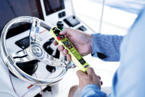
Finally, while the Pacific Northwest’s cold waters and relatively warm air temperatures are ideal for thermal-imaging cameras, these same temperatures mean that a man overboard has precious little time before hypothermia is a serious concern. Experts suggest carrying a vessel-registered EPIRB, plus properly registered personal locator beacons and AIS beacons for each crew member. They’re the best way to notify the authorities and nearby maritime traffic instantly when an emergency unfurls.

