C-MAP has partnered with EOMAP to launch EcoSat, a semi-automated wetland and coastal habitat-mapping tool that is part of the BioBase Cloud Mapping Platform.
EcoSat uses the reflectance properties of vegetation and sea bottoms from high-resolution satellite imagery and creates distinct polygon objects with spatial properties such as area and perimeter. EcoSat can assess and monitor changes in wetland complexes, shallow lakes, tidal estuaries and marshes, and benthic habitats.
EcoSat’s power is doubled when combined with its sister product, EcoSound, which uses sonar and GPS data files to map depth and submerged vegetation. The Florida Fish and Wildlife Research Institute is currently using EcoSat and EcoSound to generate full aquatic vegetation inventories in high-profile Florida lakes.
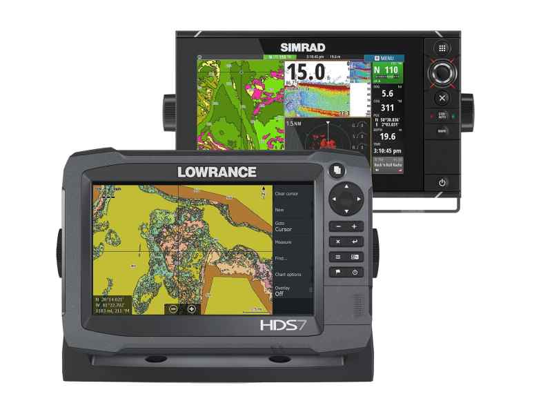
Export to a chartplotter: EcoSat files and imagery are stored in a user’s or organization’s private online account, from which the data can be shared. Users can also export custom charts to Lowrance or Simrad chartplotters.
Learn more about EcoSat: go to the C-MAP website.


