It was the culmination of three weeks of provisioning and four hours of misery, dragging our 13-foot Whaler through a sloppy Gulf Stream crossing. West End, our landfall in the Bahamas, was finally in view-I could taste the cracked conch and Kalik. Before me were state-of-the-art electronics and perhaps the easiest Bahamian fairway to play short of Nassau harbor. Still, as I approached, my confidence in fly-by-wire withered to an idle as I fumbled through my helm locker for binoculars.
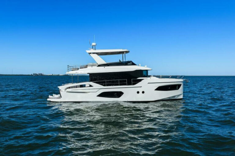
How could this be? My collection of electronics rivals a boat show display. I’d been staring for hours at brand-new, networked 10- and 7-inch color monitors fed by a 64-mile radar, a GPS/chart plotter and a sounder good for 4,000 feet. Hell, I even had a handheld GPS plotter as a backup. Given all this, I tried to make sense of the electronic shoreline with Anhinga, our 37-foot Bertram, rolling in a beam sea as the Whaler attempted to slip a half hitch around her wheels.
The explanation is really quite simple. I was suffering from what I call EOS (electronics overconfidence syndrome). In the past, I had always relied on paper backups and my eyes. My reason for breaking with tradition was that my challenge was relatively simple. I had been to West End by car and passed it dozens of times crossing Little Bahama Bank. My GPS was armed with a waypoint smack in the middle of the channel at the new “Old Bahama Bay.
Modern electronics are incredible assets, but we tend to ignore their limitations. In my case, I was focusing on the plotter and forgetting that the variables inherent in paper can also present themselves in electronic representations. Charts are not always accurate and in some areas are based on surveys performed in the 1800s.
I also had the chart display set to “course up. Depending on equipment configuration, the velocity of the boat and quality of the GPS signal, this can graphically place a fairway more than 20 degrees out of position. Overlaying the plotter with radar (set to “heads up) can be helpful in sorting things out, but I find that radar alone is more useful for assessing the credibility of a relative bearing when identifying a nav aid or shoreline feature.
Of course, my greatest error was in not consulting one of the half-dozen cruising guides stacked beside my bunk. If I had done so, I would have immediately dispensed with the notion that the fairway had an outer channel marker and avoided the fruitless search that followed. The markers fixed to the breakwaters easily identify the Old Bahama Bay fairway.
So there I was, 35 years of boating experience reduced to staring at Anhinga‘s icon wafting indecisively on the plotter. Frankly, I am a bit embarrassed about sharing this tale, but novices and pros should not waste the lesson. I know of more than one experienced captain who has lost sight of the obvious while fiddling with electronics.
Though modern navigation electronics have expanded the horizons of many, they should be used wisely. If you are traveling in unfamiliar waters, keep a cruising guide, binoculars and a paper chart handy. Rehearse your voyage prior to departure. Know your course and the character of the shoreline at your destination. Use your plotter for the big picture, your radar for support, and keep your eyes on the road.