EarthNC
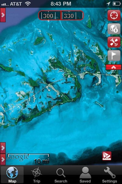
EarthNC Inc.’s update to its iPhone Marine Charts application now allows multipoint routing support. With the update, boaters can quickly plot a multisegment course on their iPhone with heading and distance data for each leg of their trip. A key feature with EarthNC’s iPhone Marine Charts is the ability to download the latest charts for any route directly from EarthNC’s cloud-based NOAA chart and weather server. The new update is available at Apple’s iTunes store. For more information on EarthNC’s mobile marine applications, visit www.earthnc.com.