It is a moonless night, visibility is bad and you are sailing on a busy area. Suddenly, the GPS signal is lost. Within a few seconds, alarms start to sound, your AIS targets disappear from the screen, your chart plotter indicates you have no GPS position and, one-by-one, the electronic navigation instruments stop working properly.
Losing GPS is not a just theoretical problem. The system operates by utilizing a group of satellites orbiting the Earth, but the signal they transmit is weak and not always reliable.
When the GPS itself suffers from errors, those errors pass straight into the AIS. The GPS feeds the AIS not only the ship’s position, but its course and speed as well. A single error on the GPS can lead to a significant amount of incorrect data being broadcast. Marine GPS errors can include Propagation, Multi-path, Ephemeris (Orbital), Receiver Noise and Relativistic Errors, among others.
Vessels receiving AIS signal have no way of verifying the accuracy of the data that they receive. There is no way to know whether a broadcasting vessel’s GPS is giving the correct data or not. You can confirm data with other means, like radar, but the underlying limitation remains.
Navigation Aids
GPS is the latest in a long line of navigation aids that have been used to help ships make their way safely through the ocean, avoiding hazards and other dangers. The earliest navigation aids were nautical charts, lighthouses, beacons and buoys.
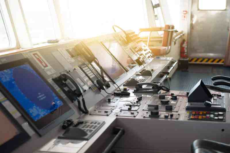
The invention of the Global Positioning System (GPS) has made a monumental difference in the navigation of ships. As a deck officer on merchant vessels in the 1980s, my crewmates and I did not have such luxuries at our disposal. Traditional navigation aids were our only means of positioning the vessel. Nowadays, satellite-based aids, automatic identification systems (AIS), Electronic Chart Display and Information System (ECDIS), etc. are being used, making navigation easier and more efficient than ever before.
The increase of continuous position certainty combined with tools such as ECDIS and AIS have created a level of relaxation in regard to Closest Point of Approach (CPA), Operating Speed, proximity to shore and the use of the autopilot, even in confined waters. However, there is a misperception that GPS signals are infallible and as solid as the reference provided by a brick-made lighthouse. In a Safety Digest produced by the Marine Accident Investigation Branch (MAIB), it was noted that “using AIS data, it is quite clear that ships are being taken closer to danger, and that passage plans are perhaps not as cautious as they once were.”
The advantage of electronic navigation aids is that they can be easily installed and have lower maintenance costs than physical aids. However, the probability of them being tampered with is also much higher, which is why they must be used in conjunction with physical navigational aids, especially when doing coastal navigation.
Complacency
The Costa Concordia disaster was the fault of human error because an overreliance on electronic charts and GPS positioning led to relaxed safety margins.
Although Automated Identification Systems are a tremendous advancement in navigation, there is evidence that its capability to provide useful information on the “other ship” can, like other new technology, lead to complacency.
AIS is a useful tool to assist watchkeepers in carrying out their duties. It does improve the safety of navigation for everyone; however, it is subject to some critical limitations.
The main limitations of AIS include:
- AIS is not compulsory on every vessel;
- AIS information may not be accurate;
- GPS signal may be incorrect; and
- Vessels may deactivate their AIS
The system is undoubtedly important and helpful to navigators, but they must not lose sight of these limitations.
AIS Blind Spots
It is important for navigators to remember that the majority of vessels on the water do not legally need to have AIS at all. Vessels not obliged to carry AIS include:
- Non-passenger, commercial vessels <300 GRT;
- Pleasure vessels not subject to SOLAS (Safety of Life at Sea);
- Small fishing vessels; and
- State-owned vessels like warships or law enforcement.
There are multiple vessels that opt to have a transceiver or receiver to add to safety, but they are not required to, so you cannot expect that this will be the case.
The International Regulations for Preventing Collisions at Sea (COLREGS) does not talk about AIS. AIS should not be used as a sole mean of collision avoidance, but rather to assist in the decision-making process. AIS enhances safety at sea and efficiency of navigation, but your primary tools for collision avoidance should still be your eyes and your radar.
The main challenge when using AIS as a source of information is that it displays the information supplied by the target vessel. As described above, these inputs are susceptible to multiple errors, but these errors can all be summarized as “garbage in, garbage out.” If any of the inputs are incorrect or corrupted, then that’s what AIS will show you, as opposed to the information from an Automatic Radar Plotting Aid (ARPA) or your eyes, which is independently generated. While those systems are liable to their own perceptions and issues, they are wholly self-supported.
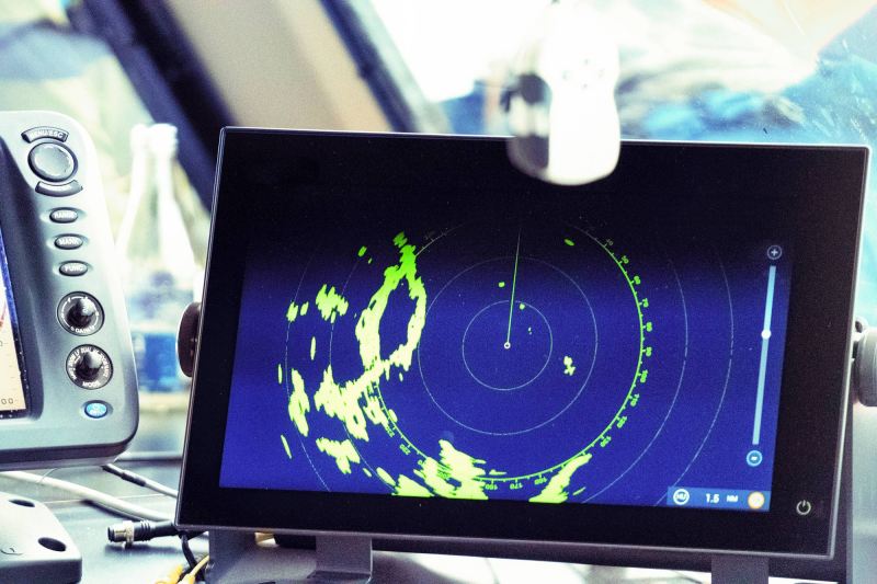
AIS is most useful when detecting other equipped targets in situations where the radar detection is limited, such as around bends, behind hills and in conditions of restricted visibility by fog, rain, etc.
A study done by the International Marine Organization concluded that the data provided by AIS is not reliable in many cases. Therefore, mariners cannot wholly trust the equipment independently for collision avoidance, requiring such equipment be used in combination with other parameters.
Conclusion
AIS information should solely be used to assist in collision avoidance decision-making. When using the AIS in ship-to-ship mode for anti-collision purposes, the following cautionary points should be borne in mind:
- AIS is an additional source of navigational information. It does not replace, but supports, navigational systems such as radar target-tracking and Vessel Traffic Service (VTS);
- The use of AIS doesn’t eliminate the responsibility of the Officer of the Watch (OOW) to comply with the Collision Regulations, particularly rule 7, when determining whether risk of collisions exists. IMO Res. A.1106(29)
- AIS complements radar information for vessels, which could be covered by radar shadows. In addition, the precision of the radar positions decreases with increasing distances.
- Static data such as Maritime Mobile Service Identity (MMSI), International Maritime Organization (IMO) number, call sign, name, vessel type and dimensions (location of the positioning system onboard) are usually entered during AIS transceiver installation, and are therefore less prone to operator errors. Dynamic data is typically generated by systems (i.e. bridge equipment). Studies have shown that from the dynamic AIS data, the rate of turn (ROT) and the true heading (THDG) provide the highest amount of incomplete data.
Take the next step: safewatersmarine.com
Jorge Pecci is a Master Mariner, LLM in Maritime Law, Associate Fellow of the Nautical Institute and CEO of SafeWaters Underwriting Managers, a series of RSG Underwriting Managers, LLC. SafeWaters Underwriting Managers develops tailor-made insurance solutions to the Marine space through a group of highly talented industry professionals with knowledge beyond the traditional underwriting level. This expertise comes with actual shipping/engineering/claims hands-on experience, allowing the SafeWaters team to better understand the needs of our retail agent and broker customers and to develop solutions accordingly. Learn more at safewatersmarine.com.


