elite-4xdsi-prg-hr.jpg
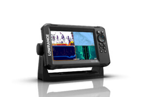
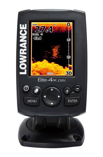
Many of us do our best fishing from tenders and center consoles. Lowrance gets that and has brought to market a line of compact grayscale and color instruments. Its high-end Elite-4x DSI model ($349) is a fish finder/chart plotter combo incorporating something Lowrance calls DownScan Imaging. This technology uses sonar to paint a picture of the territory beneath your keel with near-photographic precision. A “TrackBack” feature allows users to move the cursor anywhere on Elite’s 3.5-inch screen, and review up to a foot back in sonar history. Bait and bottom features marked in fish-finder mode convert to chart-plotter waypoints. The Elite-4 is good to 1,000 feet and uses Navionics cartography. Lowrance, 800-628-4487; www.lowrance.com
ipad_c-map-perspective.jpg
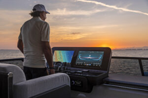
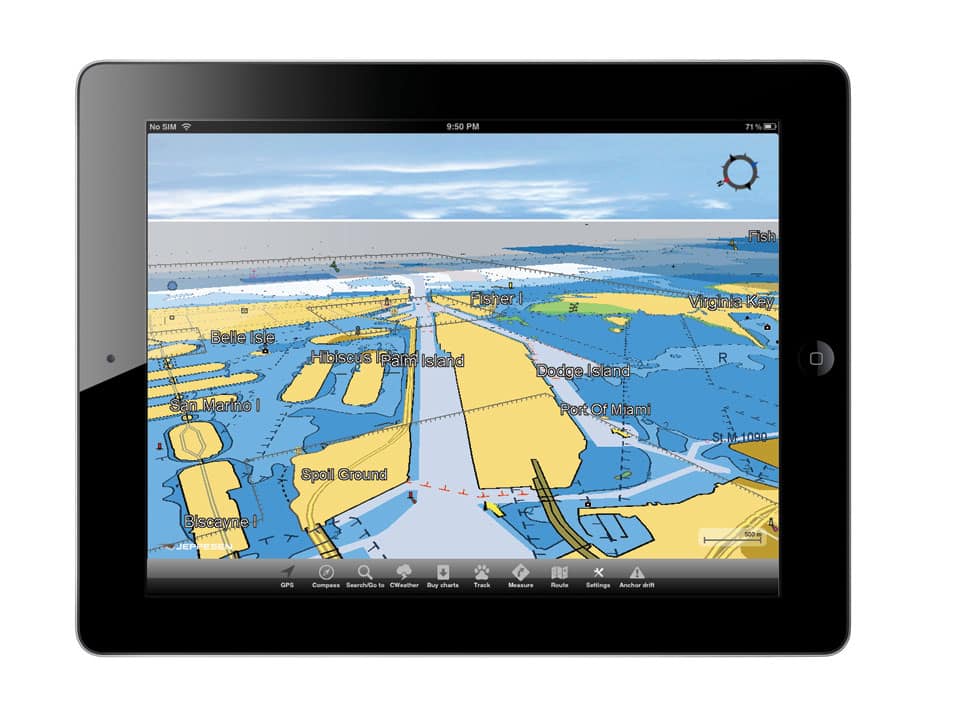
As an iPhone/iPad chart plotter, C-Map Plan2Nav from Jeppesen operates in either “north up” or “course up” for a fully rotating presentation. A compass rose shows real-time heading, and the display shows speed and course over the ground, ETA and time to go. Charts (starting at $20) may be viewed in traditional 2-D or a perspective mode. Plan2Nav also lets you download and overlay five-day weather forecasts and satellite images from Google Maps. The app is free from the Apple Store for iPhone and iPad. Dynamically displayed tides and currents come with chart downloads. Jeppesen; www.jeppesen.com/lightmarine
ultrascan180.jpg
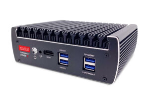
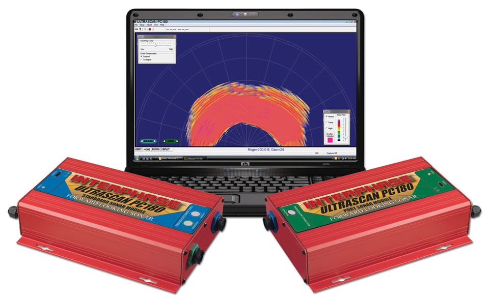
The latest forward-looking sonar from Interphase works like a superfast underwater radar. Based on Ultrascan digital technology, the PC180 ($7,999) uses two phased-array transducers with no moving parts, mounted on either side of a yacht’s keel and synchronized to enable a 180-degree scan of the sea ahead. Split the screen on the ship’s PC to show a navigation program on one side and the PC180 view on the other, letting the helmsman see reefs, rock pinnacles, deadheads — even whales. A range of 1,200 feet and a wide sweep empower offshore fishermen to find and track baitfish and identify fruitful bottom structure. Interphase, 831-477-4944; www.interphase-tech.com