Jeppessen Max-N Charts
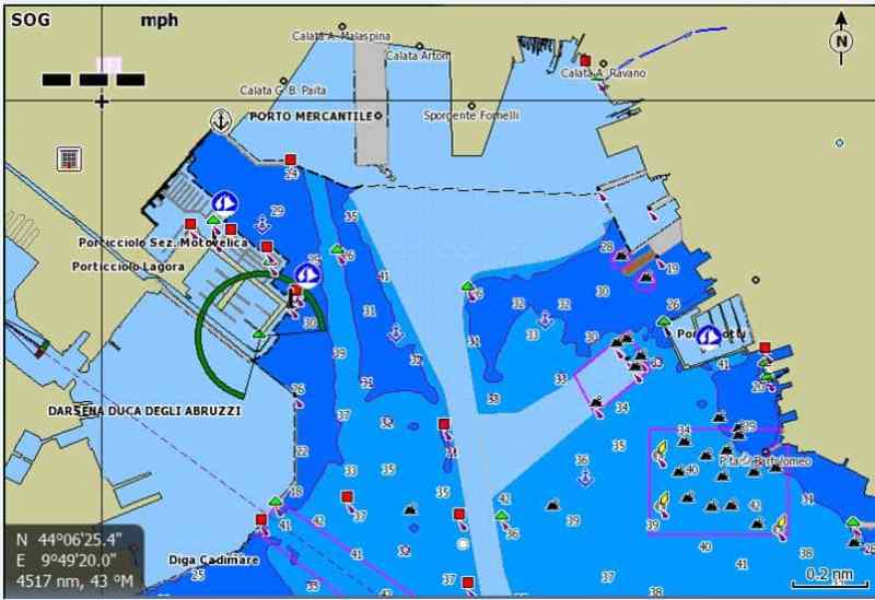
Jeppesen has just released Max-N charts for Europe, the Middle East and Africa, making local cartography available for boaters with Lowrance, Simrad and B&G navigation systems.
The new Max-N charts are compatible with Lowrance Elite 7 and HDS Gen1, Gen2 and Gen2Touch units; Simrad NSS, NSE and NSO units; and B&G Zeus Touch Multifunction Navigators. Chart coverage includes the Atlantic European coast, the North Sea, the Baltic Sea, the Mediterranean Sea and the Black Sea.
According to Jeppesen, the newly released charts provide “unparalleled detail and port plans” for these cruising regions.
Max-N local charts are currently available on pre-programmed micro SD cards through Jeppesen dealers or online. Soon, the charts will also be available for download through www.insightstore.navico.com.
Learn more at www.jeppesen.com.


