The Exumas

Exumas
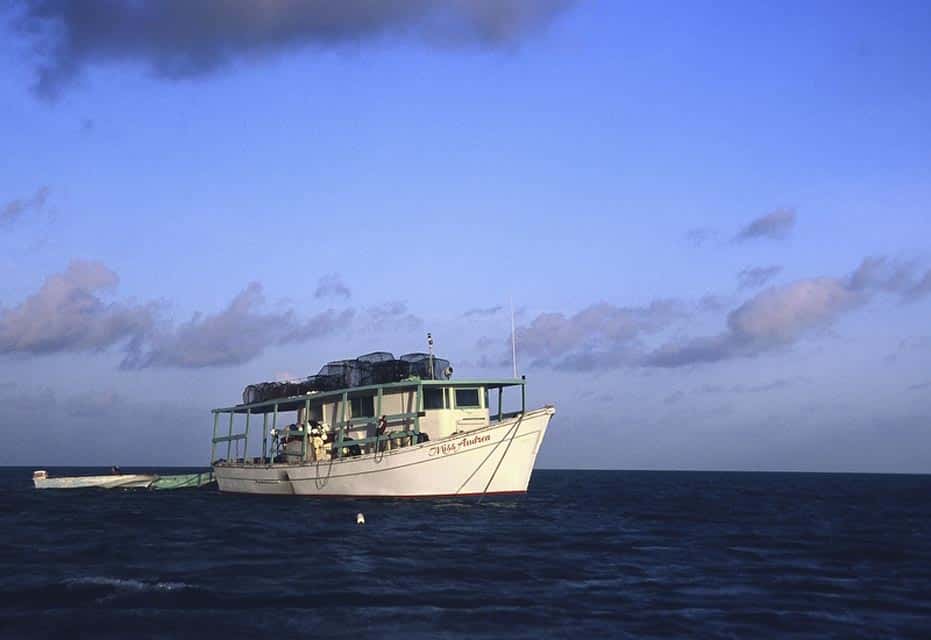
Bahamian Boat

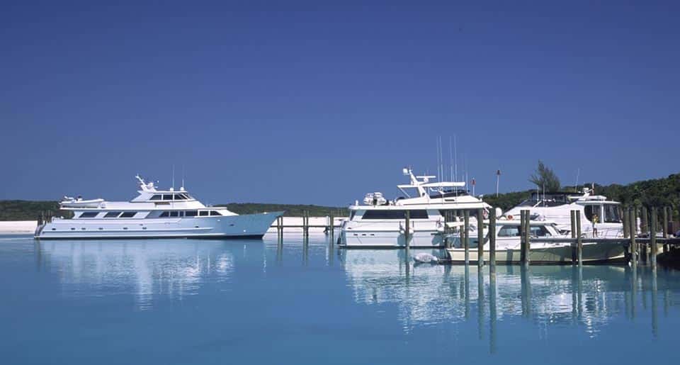
Harbor Marina

At Anchor

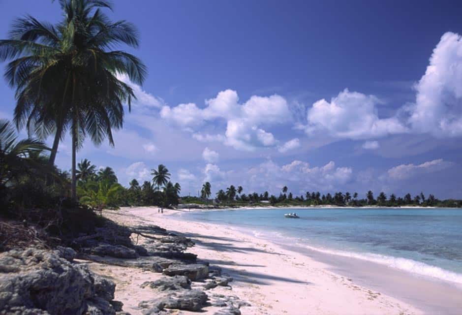
Beach during the Passage

Allen’s Cay

Highbourne Cay

Norman’s Cay

Warderick Wells
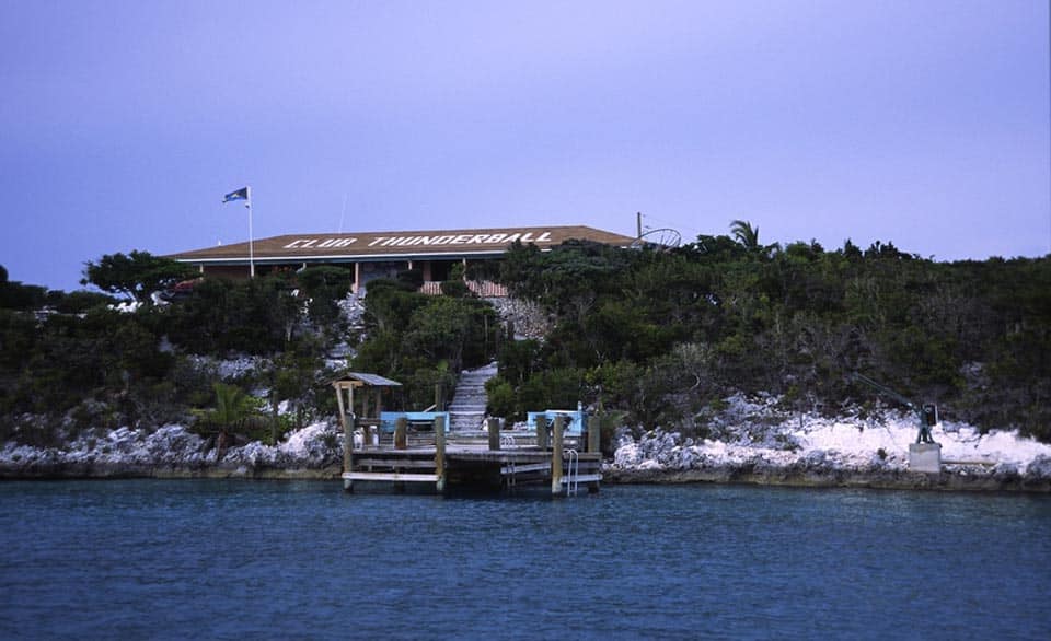
Club Thunderball

Leaf Cay

Coral Passage

Georgetown

Georgetown Anchorage
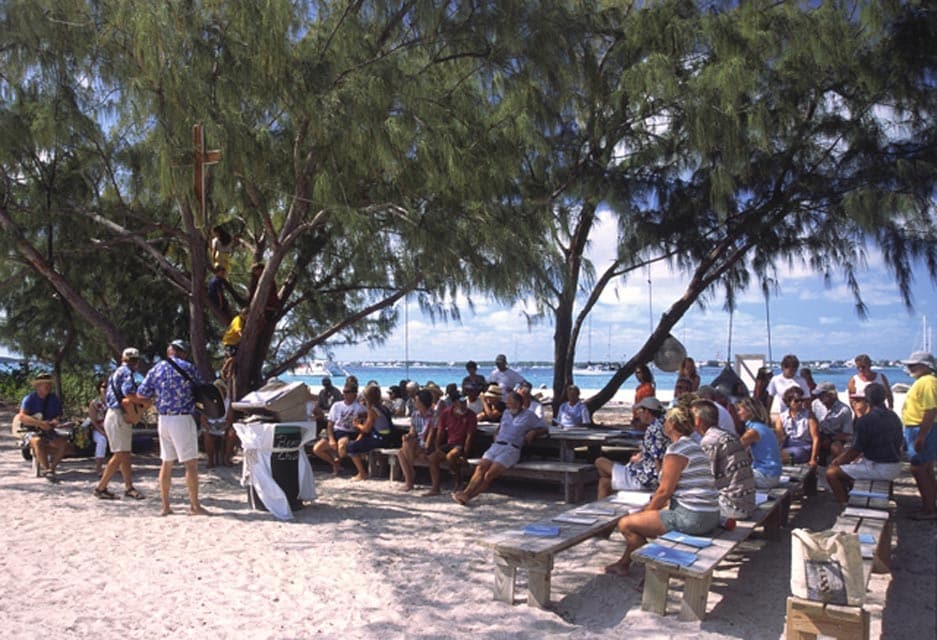
Volleyball Beach

Climbing for Coconuts

Anchorage

Iguana