When it comes to situational awareness, John Ellis understands the value of a bird’s-eye view. While he uses Dragon, his Furuno-equipped Nordhavn 68, for sport fishing, diving and extended Pacific Ocean cruising, he often uses an inexpensive DJI unmanned aerial vehicle to gain perspective. “I can use it for backing into slips,” he says, adding that he also flies the UAV to count whale sharks or locate birds offshore. The key to making the UAV effective, he says, involves networking one of his yacht’s four 24-inch pilothouse displays with Apple TV. Then, the UAV wirelessly shares its data with Ellis’ iPhone, which in turn pushes this imagery to the Apple TV and the networked display. “You can’t see this without a drone,” he says.
While contemporary marine-electronics manufacturers have done an admirable job of making their user interfaces intuitive and user-friendly, a simple truth remains: Mariners who use their electronics on a daily or near-daily basis often discover little tricks that simplify onboard operations.
Yachting spoke with brand ambassadors from Furuno, Garmin, Raymarine and Simrad to learn more about how they use their instruments and screens, with the goal of reeling in some wisdom to improve your summer cruise.
Screens
All experts agree that more glass is unquestionably better.
“It helps with the fish finder—you can see more detail,” says Capt. Deane Lambros, who works aboard Canyon Runner, a commercially operated, Simrad-equipped Viking 48 Convertible. Lambros typically runs four screens on Canyon Runner’s two 16-inch helm displays: radar, chart plotter, a FLIR thermal-imaging camera feed, and a fourth screen that displays either NMEA 2000 data or side-scanning sonar.
Capt. Tom Petersen takes a different approach aboard Valkyrie, his Sea Ray L650 Fly with Raymarine equipment including dual 16-inch multifunction displays at the helm and another two 16-inch MFDs on the flybridge. “On the left, I have Navionics [cartography] running on my chart plotter, which gives me a lot of data on the display,” he says. “On the right, I run radar in dual-screen mode, with one side set to harbor mode with a 1.5-mile range, while the other side is in coastal mode with the range set to 3 to 6 nautical miles out. This is enough range at 25 knots to maneuver out of the way.”
Others prefer simpler data management. “My digital space has been the same for 20 years,” Ellis says. He displays the most pertinent data—his chart plotter and either radar (nighttime) or sonar (daytime)—on his two 24-inch center displays, with less-critical data on his two 24-inch outer screens. “In a moment of high tension, I don’t want to wonder where things are. I keep the on-screen information very simple, but I can drill down to get a cornucopia.”
On the sailing side, Nigel Craine runs a 12-inch MFD and three instrument displays at the cockpit helm of Eponine, his Garmin-equipped Beneteau Oceanis 311, plus a 7-inch MFD and a second VHF radio at his belowdecks nav station. While Crane typically sets his cockpit displays to show windspeed, GPS-based boatspeed and depth, automatic identification system data also plays a big role.
“Using the AIS with speed-direction vectors switched on is a great help in ascertaining which vessels need to be kept an extra watch on,” he says.
Radars
“Radar is the real world,” Petersen says, adding that it will do more than any other instrument “if you’re willing to use it.”
This requires practice. “Go out on a clear day, and use your radar to spot targets,” Lambros suggests, adding that he typically runs his Simrad radar in dual-range mode (3 and 6 nautical miles, respectively). “Don’t wait until you need it—get a sense of what the picture looks like.”
Contemporary digital radars typically have Doppler processing; however, our experts were more focused on automatic radar plotting aid (ARPA) or mini automatic radar plotting aid (MARPA) tools. These tools can automatically or manually acquire and track specific targets.
“There is nothing better,” Ellis says about the ARPA features on his dual Furuno radars. “If I see a mark without AIS, I give a long press to both radars” to capture the ARPA target.
Radars can overlay their imagery atop cartography, but not everyone uses this feature. “We tend not to use the overlay but rather split the screen,” Craine says, explaining that he runs radar on one side of his screen(s) and a chart plotter—set to head-up perspective and similar ranges—on the other. “This gives a nice, clear picture and allows easy comparison.”
Then there’s disaster avoidance. “At anchor, I always leave my radar running for 10 to 15 minutes,” Petersen says. “I set my radar tracks, and I zoom in close. If I’m anchored squarely, I’ll see squiggly lines, but if I see a long, straight line, I know I’m dragging.”
Sounders
“If I only had two pieces of electronics, it would be GPS and sonar,” Ellis says, explaining that he regularly takes Dragon “closer to shore than you want to be.” He accomplishes this with his Furuno multibeam and searchlight sonars, which he uses out of the box, even for advanced missions such as solo diving El Bajo seamount in the Gulf of California.
“I ran over it 12 times and created my own bathymetry,” Ellis says, adding that he used the resulting high-resolution shaded relief chart to precisely drop anchor on the mount’s summit before swimming the chain.
Lambros, who fishes around 180 days annually aboard Canyon Runner, has a similar approach. “I mostly use it in auto-mode, with maybe a couple of clicks of gain up or down,” he says. He typically runs his sonar display in split-screen mode, with 75 percent of the glass devoted to the sounder’s high-frequency returns (read: depths to 100 feet) while the remaining screen space displays the transducer’s low-frequency findings (read: depths to 900 feet).
Thermal-Imaging Cameras
“It’s a fun one to have,” Petersen says about his FLIR M364C LR. “Just don’t sit and look at it the whole time. If it’s not stabilized, it’ll make you seasick. … It’s good at looking for specific things.”
Lambros agrees. “I use it for getting in and out of the inlet,” he says. “It’s a great secondary line of sight.”
Finally, Petersen suggests spec’ing a FLIR AX8 camera, which delivers live video and automated alarms if, perchance, in the engine room, something starts running too hot or too cold.
Macro-Thinking
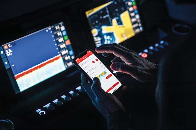
While multifunction displays are great for tackling onboard operations, route planning is sometimes easier on a computer. One solution involves employing a Windows-based PC that’s running navigation software such as TimeZero. This setup allows operators to explore routing options on the PC without accidentally interfering with their navigation or instrumentation.


