The footage is violent: Fifty-foot waves and 105-knot winds hammer the 23-foot Saildrone Explorer and its wingsails. Seas rise and fall in the kinds of towers and crashes of blue that movie producers usually have to create with special effects. But this is footage from inside Hurricane Sam, a Category 4 storm. And the only reason anyone can see the video is that SD 1045’s cameras kept filming. It was late September 2021, and SD 1045 was in the process of becoming the first uncrewed surface vehicle to negotiate a hurricane’s eyewall.
For decades, the National Oceanic and Atmospheric Association has relied on brave pilots flying Lockheed P-3 Orion turboprops and Gulfstream IV-SP jets near or through hurricanes to gather scientific data. While this practice delivers valuable information, it also puts pilots, rescue crews and assets at risk, and it can only collect data from the atmosphere, not the ocean.
SD 1045, without endangering anyone, gathered high-resolution data that the NOAA wanted about the sea-level heat exchange between the air and the ocean inside of a hurricane. The NOAA had real-time access to a compressed form of the data and could immediately begin using it to improve prediction models.
The technology has potential for all kinds of situations on the water, ranging from fish-stock census reporting to bathymetric survey work to offshore surveillance. Saildrones aren’t the first USVs to have data-gathering sensors, but Alameda, California-based Saildrone is the first company with a 100-strong fleet of wingsail-powered vehicles that can collect high-resolution data during prolonged, complicated missions to remote and inhospitable locations.
Saildrone’s mission began in 1999, when British engineer Richard Jenkins began experimenting with wingsail designs. He was on a quest to best the speed record for wind-powered terrestrial vehicles. In 2009, Jenkins tagged 126.2 miles per hour on California’s Mojave Desert, owning the record and proving that his wingsails worked. They had an innovative horizontal spar assembly (and tailpiece) to help dictate the wing’s angle of attack.

Patents were filed. Jenkins moved to San Francisco, and in 2012, he founded Saildrone to create wingsail-equipped USVs capable of autonomous, round-the-clock data collection. The company has received $190 million in venture-capital funding, allowing Saildrone to develop its USV platforms, conduct proof-of-concept missions and engage with partner organizations including the NOAA.
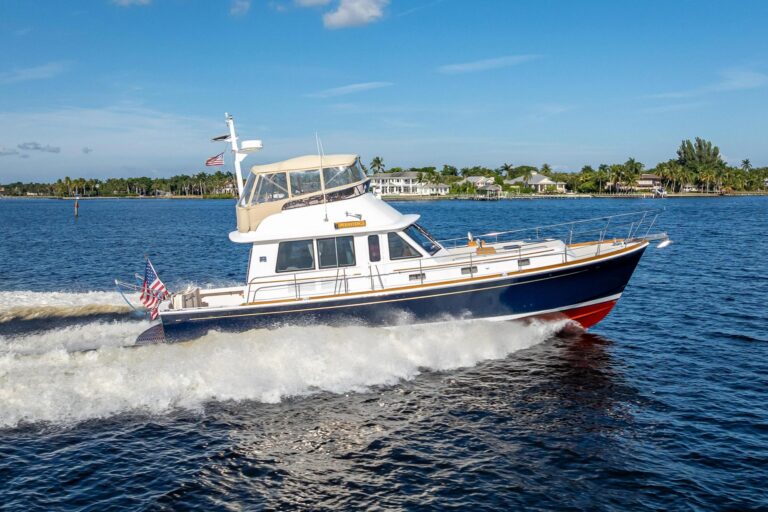
Saildrone has created three autonomous, self-righting monohull designs: the 23-foot Explorer, the 33-foot Voyager and the 72-foot Surveyor. These vessels have sailed some 500,000 nautical miles and spent 15,000-plus days at sea, plying courses that stretch from the Arctic to the Southern Ocean.
Saildrone Explorers—like the one that negotiated Hurricane Sam—have wingsails that yield average speeds of 3 knots. They can be equipped with a client’s choice of 17 standard sensor options (such as anemometers, barometers, thermometers and bathymetric instruments), and they generate DC power via solar panels fitted to the deck and wingsails. Explorers can autonomously operate for 12 months before their sensors need to be cleaned and calibrated and their undercarriages scrubbed. Saildrone has built more than 100 Explorers, whose Iridium satellite-communications systems let them receive mission commands and upload data.
Voyagers are Saildrone’s midsize USVs, and they employ wingsails and diesel-electric drives. Voyagers can sail at approximately 4 knots, motorsail at 5 knots and sprint at 8 knots. Voyagers can operate autonomously for six months, and their longer waterlines let them carry radars, cameras, multibeam sonar equipment (capable of mapping seafloors to almost 1,000 feet), and a winch-activated sound velocity profiler that can be lowered to almost 500 feet. Saildrone is currently building its first Voyager.
Saildrone’s Surveyors carry the heftiest payloads. These include multibeam sonar, acoustic Doppler current profilers, echo sounders, and a winch-activated sound velocity profiler that can be lowered to 1,640 feet. Like Voyagers, Surveyors can operate autonomously for six months, and they have wingsails and diesel-electric drives that let them sail at roughly 5 knots, motorsail at 6 knots or gallop at 10 knots. Saildrone built and launched its first Surveyor in January 2021; it has sailed round trip from California to Hawaii, using its diesel-electric for roughly two hours per day. The company plans to build enough Surveyors to map the world’s oceans in the next decade.
“We’re looking into a wide array of power sources,” Andy Ziegwied, Saildrone’s vice president of ocean data, says about Saildrone’s Voyager and Surveyor platforms. Among the possibilities are hydrogen propulsion systems.
Saildrone’s business model relies on collecting and selling high-resolution data in one of two ways.
The company’s “mission-as-a-service” model refers to arrangements like the one with the NOAA, where Saildrone supplies a fleet of USVs for a client’s mission. Saildrone tackles all the launching, routing, retrieval and data transfer, and the client can access nearly real-time, compressed data via Saildrone’s client portal. High-resolution data is stored locally on the USV and is shared once the mission is complete, with time slices of high-resolution data transmitted via satcom while the USV is at sea. Clients, in turn, pay Saildrone on a per-day basis for the time the USVs are collecting data.
“We absolutely want to make sure drones are kitted-out with the proper sensors for [each] particular scientific mission,” says Christian Meinig, director of engineering at the NOAA’s Pacific Marine Environmental Laboratory. The NOAA has been partnered with Saildrone since 2014, and the agency is heavily involved in planning operations, including specifying sensor payloads. “You’re not going to find these at West Marine—these are research-grade sensors. Almost all of them require extensive modification.”
The NOAA also works closely with Saildrone to ensure that the highly choreographed missions properly unfurl. During the 2021 hurricane season, the NOAA determined the highest likelihood of where hurricanes would pass, and five Saildrones were stationed in those areas.
The goal is to generate better forecasts. “We didn’t have this capability before,” Meinig says. “There’s very few measurements that have ever been made from inside of the eyewall of a hurricane at the sea surface.”
Saildrone’s data-as-a-service model is option two. It gives clients access to the company’s deep—and rapidly growing—library of high-resolution data from current or past missions.
“Data quality is paramount,” Ziegwied says. “We have a robust chain of data custody.” This includes metadata such as the serial numbers of each sensor, as well as the heights when the measurements were taken and when the sensors were last calibrated. Ziegwied says that while Saildrone has the ability to perform quality control on its data, most partners opt to do this task themselves. Meining says that having accurate metadata is crucial, because it ultimately goes into an archive used to keep a record of climate changes.
Ziegwied says the company can provide bespoke cartography, surveillance, security, monitoring solutions and more with smaller carbon-emission footprints. Potential scenarios include identifying “dark ships” that aren’t broadcasting their AIS information or illegal fishing operations. Still other possibilities: performing site characterization for prospective wind farms.
While Saildrone’s list of possible applications is long and evolving, there’s little question that the USVs can deliver in ways that are making a difference. Case in point: Hurricane Sam dispersed over Iceland and Greenland days later, but the data SD 1045 collected is still helping NOAA scientists create better marine forecasts and improved models today.
For yachtsmen, that means better descriptions of where, when and with what intensity a hurricane will likely make landfall—and the ability to steer clear of the most violent storms, even if a Saildrone is right in the middle of them.
Horses for the Courses
Saildrone Explorers typically have 16.5-foot wingsails, but the five Explorers released into the Atlantic during summer 2021 employed 5-foot wingsails that were ruggedized to withstand hurricane forces. The drawback was that the smaller wings only generated 1- to 2-knot average speeds, making them slower in light to moderate wind conditions.
Local Knowledge
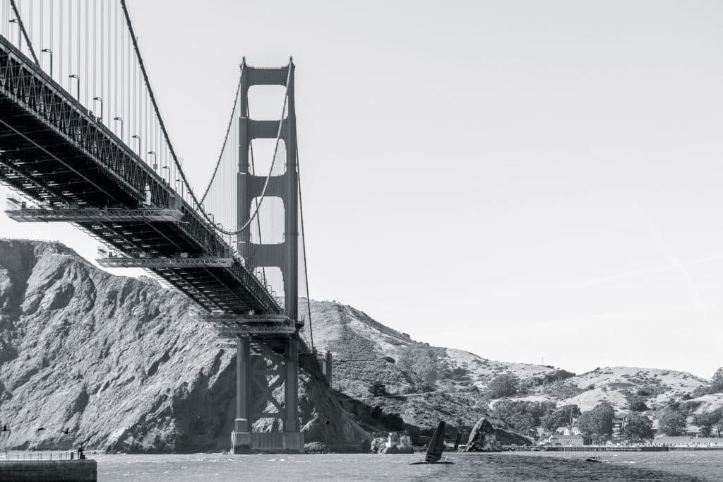
Saildrone is based in Alameda, California, near the waters of San Francisco Bay. This location puts the company near the epicenter of the tech world, and it gives the team the ability to develop new USV prototypes and wingsail designs on a patch of water that’s notorious for delivering big breeze, wind-against-tide seas and big currents. As Bay Area wisdom portends, “If you can sail here, you can sail anywhere.”